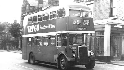
There will be plenty of people who instantly recognise the scene.
We are on Barlow Moor Road, and for many the large impressive building with its tiled faced will bring back memories of the cinema.For this was the Palais de Luxe, which was opened in 1914, changed its name to the Palace around 1946, and closed eleven years later.
After which the building was owned by Radio Rentals, and then sometime before 1969 it was taken over by Tesco and traded as such, until 1974.
This I know because of a reference in the planning records which record “Continuance of use of radio and television service centre as supermarket”.
Now given that it was already trading as a Tesco store, I think this might have been the moment when it was sold on to Hanburys, which was a chain of stores across the north which had its origins, when Jeremiah Hanbury opened a small store in 1889 in Market Street, Farnworth, selling butter and bacon.
Forty years later the business was bought by Bolton wholesale grocers E.H. Steele Ltd, and in 1997 the 31 Hanbury’s stores in the north west were acquired by United Norwest Co-op.
But for many it will always be the picture palace, and carried the distinction of being our first purpose built cinema, having seen off the Chorlton Pavilion and Winter Gardens on Wilbraham Road, which in turn had done for the Picturedrome on Longford Road.
I missed it by just 20 or so years, but have written about it over the years along with all the Chorlton picture houses, and even uncovered the remains of the plaster features above the screen which still survived in the upstairs area of the former supermarket.*
And there will also be many who can reel off the various retail businesses which inhabited the building to the left, and which was once home to Douglas Cook who lived there in the 1940s and remembers, “living in the detached house right next to the cinema, on the corner of Malton Avenue and Barlow Moor Road, no 477, so the cinema wall formed one side of our garden. I went to the Burnage High School for Boys and also the Wilbraham School of Music in High Lane.”
And that I think is enough for now.
Location; Chorlton
Picture a ghost cinema and a family home, 1962-3801.4, courtesy of Manchester Libraries, Information and Archives, Manchester City Council, http://images.manchester.gov.uk/index.php?session=pass and Hanburys shopping bag, courtesy of Catherine Brownhill


