|
| Holland Wood, by the Cliffs along Chorlton Brook, circa 1907 |
We are in Holland Wood, sometime at the beginning of the 20th century and according to the caption on the photograph, “on Chorlton Brook between Claude Road and Brook Road, looking from what is now Claude Road Bridge.”
This stretch of the brook was known as the Cliffs and had been well wooded, although by the time of our picture this seems to be less so.
Over the left is Brook Road and in the distance is Brook Farm.
 |
| Brookburn Road with Brookburn Farm in the distance, circa 1907 |
Back in 1847 the radical journalist Alexander Somerville* stopped at Brook Farm and reported his conversation with Lydia Brown the tenant farmer who complained about the ash trees which grew around the fields
“which are not only objectionable as all other kinds are in and around cultivated fields but positively poisonous to other vegetation, and ran through the ground causing much waste of land, waste of fertility, and doing no good whatever. Squire Lloyd is the landlord.
Mrs Brown a widow, is the tenant. She keeps the farm in excellent order so far as the landlord’s restrictions will allow. But neither herself nor her workmen must ‘crop or lop top’ a single branch from the deleterious ash trees."
He may even have wandered a little further along our stretch of the brook before up to the bridge over the Mersey and a conversation with Samuel Nixon also a farmer as well as the landlord of the Greyhound who was fairly disparaging about news papers and the news that came out of them.
 |
| The Brook, looking west |
All of which has taken us away from Chorlton Brook which is the most southerly of our water courses It flows from the east into the township by Hough End.
By the time it arrives at this point it is already the product of many smaller streams of which the Gore and Red Lion Brooks are the last joining by Hough End.
For those prepared to leave the township the best glimpse of any of these streams is at Hough End Playing Fields where the Red Lion Brook comes out into the light and crosses the open before flowing underneath Hough End Crescent where it becomes Chorlton Brook.
Like so many of our journeys around the township back in 1847 we would have been surrounded by open fields.
But at the point where the Red Lion and Gore Brooks joined to become Chorlton Brook the landscape changed and the water course ran through an area bordered by trees known as Hough End Clough.
Sadly for the modern traveller the brook is lost again as it runs under Mauldeth Road West before reappearing and flowing past the high school and under Nell Lane.
 |
| The Brook with Hough End Hall, circa 1900 |
And just a little to the west of this point is one of those mystery watercourses, which might be another little stream flowing in an old brick tunnel or it may just have dried up.
But back in the 1840s it was clearly visible, coming in from the south across land farmed by Henry Jackson with field names like Old Marled Field and Great Thick Wood.
It fed into Chorlton Brook just below where the Brook now crosses Mauldeth Road West, through a wooded and wet area with the delightful name of Pitts and Bogs. In its journey from the south it fed a number of ponds and as it flowed into the Brook it broadened out contributing to the swampy character of Pitts and Boggs.
Tracking it today is difficult and the Environment Agency has no record, but it may have followed a route which took it from the junction of Burton Road and Lapwing Lane, north towards the Brook, passing just east of Weller Avenue. If so it may well be that the old disused railway line marks its course.
And yet another crossed Chorlton Park from two ponds just a little south and west of Brookfield House which is now owned by the Corporation and is divided between the warden’s office and an upstairs tenant.
 |
| The Brook as it flows through Chorlton Park, 2010 |
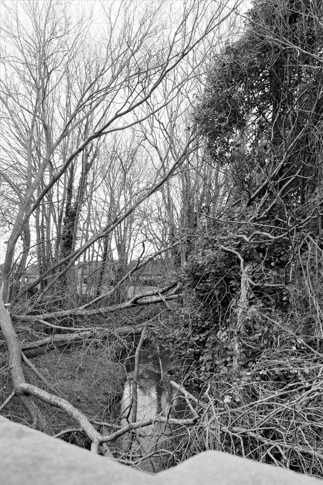
From now with just a small break we can walk alongside the Brook as it wanders through Chorlton Park and under Barlow Moor Road. Back in 1847 the Nell Lane Bridge was a lower structure but still gave good views.
Looking east there was Hough End Hall standing in its own grounds which by then was the home of Henry Jackson and later Samuel Lomas who farmed 220 acres. Directly south was Brookfield House, commanding fine views across what is now the park.
From here on the brook remains open to the air till it meets the Mersey. Unfortunately as its route flows through private property there is no access to it till it crosses Brookburn Road.
There is a footpath which ran from Barlow Moor Road skirting Oak House Farm by the modern Oak House Drive and running down behind the gardens on the north side of South Drive and Claude and Brookburn Roads but this fell out of use and is now blocked off and it is very doubtful that it will be reinstated.
This is a great pity because it would allow our modern traveller to walk beside Brook along a steep wooded corridor known as the Cliffs which ran roughly along the route of the footpath. Here the Brook skirts the edge of the village. On the south side were Brook Cottage and Brook Farm.
Here to was the village pond which today was where the cark park of the Bowling Green Hotel stands. It stretched back from the lane to include all of the modern bowling green to the edge of Finney Drive and from the Brook to the hotel it contained fish and was rented out to gentlemen.
Once across Brookburn Road the course of the Brook twists and turns before flowing into the Mersey.
The land on either side would have mainly been meadows and running off from the water course would have been the ditches which allowed the farmers regularly water the land. This as we know was a skilled task.
 |
| The Cliffs in 1841 |
Today while the area retains the popular name of the meadows the land does not resemble the former meadowland.
The scars from the tipping of rubbish are still visible and much of the land had been landscaped with trees artificial ponds and raised banks.
So today where young trees and bushes crowd in on the passer by back in 1847 it would have been more open with trees forming natural boundaries between fields. And not far from the bridge across the brook the land north was covered by an orchard which ran up to and over the old Road to the big pond on Turn Moss.
It was an one of the orchards that fascinated Alexander Somerville, but that is a story for another time.
Extract from
THE STORY OF CHORLTON-CUM-HARDY, http://chorltonhistory.blogspot.co.uk/search/label/A%20new%20book%20for%20Chorlton
Pictures;
of Chorlton Brook passing through the Cliffs and by Hough End hall from the Lloyd Collection, as it passed through Chorlton Park from the collection of Andrew Simpson, detail of the Brook and the Cliffs from the OS map of Lancahire, 1841-53, courtesy of Digital Archives http://www.digitalarchives.co.uk/
*
http://chorltonhistory.blogspot.co.uk/search/label/Alexander%20Somerville